Physical Location and Borders
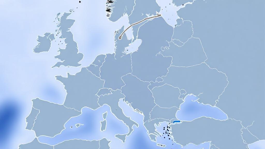
The Netherlands is situated in Northwestern Europe, lying roughly between 50° and 54° North latitude and 3° and 7° East longitude. The country shares borders with:
- Germany to the east (577 kilometers)
- Belgium to the south (450 kilometers)
- North Sea to the north and west
The Dutch coastline along the North Sea stretches approximately 451 kilometers, providing access to maritime trade routes and rich fishing grounds.
Topographical Features
Low-lying Landscape
The Netherlands is renowned for its flat landscape, with about 26% of its territory below sea level. The lowest point is Zuidplaspolder near Rotterdam at -7 meters (-23 feet) below sea level, while the highest point is Mount Vaalserberg in Limburg, reaching 322.7 meters (1,059 feet).
Major Geographical Features
-
Polders: These reclaimed land areas are protected by dikes. The most notable is Flevoland, the world's largest artificial island, created entirely through land reclamation in the 20th century.
-
Rivers: Three major European rivers flow through the country:
- Rhine
- Meuse
- Scheldt
-
Dunes and Beaches: The coastline features sand dunes serving as natural barriers against the sea, popular with tourists during summer.
Climate
The Netherlands has a temperate maritime climate, influenced by:
- The North Sea and Atlantic Ocean
- Prevailing westerly winds
- Frequent rainfall throughout the year
- Mild winters and cool summers
Average temperatures range from 2°C (36°F) in winter to 22°C (72°F) in summer, with annual rainfall averaging around 800 mm (31 in).
Regions and Urban Geography
The western region contains the Randstad, a megalopolis including:
- Amsterdam (capital)
- Rotterdam
- The Hague
- Utrecht
Main Regions
- North Holland: Known for coastal dunes, beaches, and picturesque villages
- South Holland: Features urban areas and agricultural land
- East Netherlands: Characterized by forests, heathlands, and rivers
- Limburg: Notable for its hilly landscape
Environmental Challenges and Adaptation
"God created the world, but the Dutch created the Netherlands."
- Popular saying
The country's low-lying position presents unique challenges, particularly with rising sea levels. Key adaptation measures include:
- Advanced flood control systems, including the Delta Works
- Sustainable urban planning
- Climate-resilient infrastructure
- Natural water retention areas
International Significance
The Netherlands' strategic location has established it as:
- A major hub for international trade
- A center for European transportation
- A crucial gateway for European commerce
- Host to international organizations
The Port of Rotterdam serves as Europe's largest seaport, while The Hague hosts numerous international institutions, including the International Court of Justice.
For more detailed information, visit the official government website or the Netherlands Board of Tourism.
