🌍 Understanding GPS: What Does It Stand For?
GPS stands for Global Positioning System. It is a satellite-based navigation system that allows users to determine their approximate location (latitude, longitude, and altitude) anywhere on Earth. The system is maintained by the United States government and is freely accessible to anyone with a GPS receiver.
Military Origins ⚔️
In 1973, the U.S. Department of Defense initiated the NAVSTAR GPS project, driven by the need for precise positioning and timing capabilities for military operations. Initially designed for military applications, it became fully operational in 1995, with 24 satellites orbiting Earth.
🛰️ How Does GPS Work?
The Global Positioning System operates through three main components:
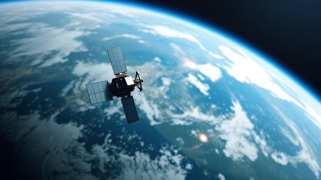
- Space Segment: A constellation of at least 24 satellites orbiting Earth at approximately 20,200 kilometers above the surface
- Control Segment: Ground stations monitoring satellites and maintaining precise orbits
- User Segment: GPS receivers in devices like smartphones and navigation systems
GPS satellites broadcast signals containing:
- Precise time from atomic clocks
- Orbital position data
- Status information
- Other essential parameters
The Triangulation Process
GPS receivers determine their location through trilateration, requiring signals from at least three satellites to determine a 2D position (latitude and longitude) and four satellites to determine a 3D position (latitude, longitude, and altitude).
🌐 Applications of GPS
The versatility of GPS technology has led to numerous applications:
Transportation
- Vehicle navigation
- Fleet management
- Aircraft guidance
- Maritime operations
Scientific Uses
- Weather forecasting
- Earthquake monitoring
- Wildlife tracking
- Agricultural precision
Personal Use
- Smartphone navigation
- Fitness tracking
- Geocaching
- Emergency services
Global Competition
Other global navigation satellite systems include:
🔗 Further Reading
For those interested in exploring more about GPS technology:
Did you know? GPS satellites orbit Earth at approximately 20,200 kilometers (12,550 miles) above the surface, making two complete orbits every day.