Introduction
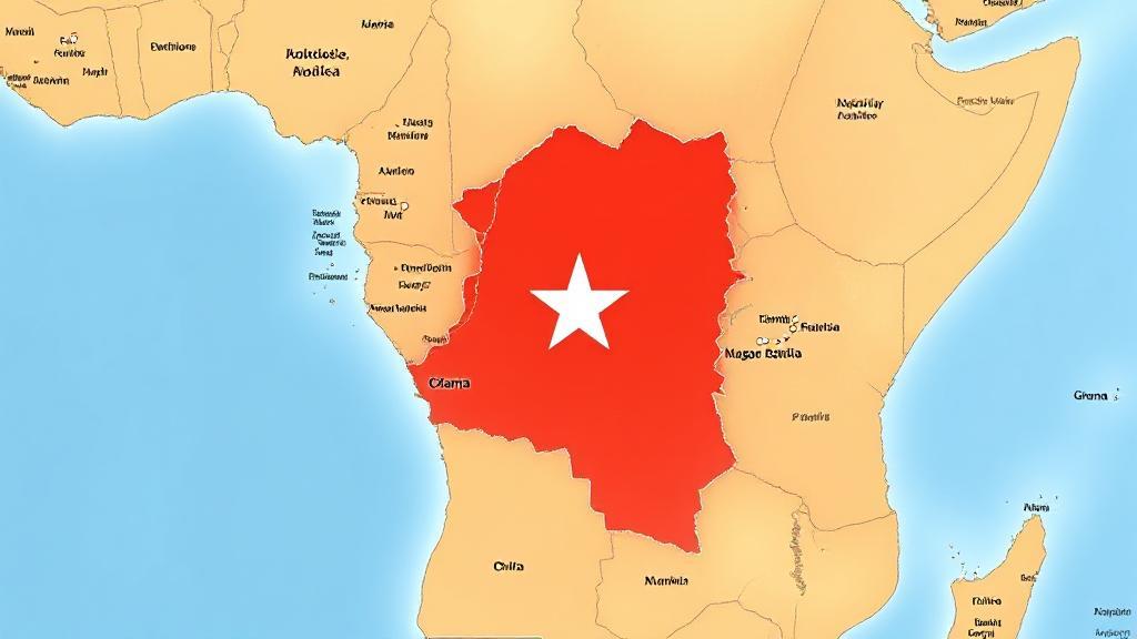
Ghana, a vibrant and culturally rich country, is located on the west coast of Africa. Known for its diverse ecosystems, historical significance, and economic potential, Ghana's geographical position plays a crucial role in its development and interactions with neighboring countries.
Physical Boundaries and Location
Ghana shares borders with three French-speaking nations:
- Côte d'Ivoire (Ivory Coast) to the west
- Burkina Faso to the north
- Togo to the east
The southern boundary is formed by the Gulf of Guinea, stretching along approximately 560 kilometers of coastline. The country lies between latitudes 4° and 12°N and longitudes 4°W and 2°E, covering an area of approximately 238,533 square kilometers. Notably, the Greenwich Meridian passes through the port city of Tema.
Topographical Features
Coastal Plains
The southern region consists of low-lying coastal plains, characterized by sandy beaches, lagoons, and mangrove swamps. This area includes major urban centers like Accra, the capital city, and Tema, one of West Africa's largest ports.
Forest Zone
Moving inland, the terrain transitions into forested hills, particularly in the Ashanti and Eastern regions. This area is known for its:
- Rolling hills
- Dense forests
- Rich mineral deposits, particularly gold
- Fertile agricultural lands
Volta Basin
The eastern region is dominated by the Volta Basin, home to Lake Volta - one of the world's largest artificial lakes. Created by the Akosombo Dam, this water body covers approximately 8,502 square kilometers.
Northern Savanna
The northern regions display typical savanna characteristics:
- Open woodlands
- Grasslands
- Scattered drought-resistant trees
- Seasonal watercourses
Climate
Ghana experiences a tropical climate with distinct zones:
| Zone | Characteristics | Annual Rainfall |
|---|---|---|
| Coastal | Hot, humid | 800-900mm |
| Forest | Wet, tropical | 1500-2000mm |
| Northern | Hot, dry | 1000-1100mm |
The country has two main seasons: wet and dry. The coastal areas experience two rainy seasons (April-June and September-November), while the northern regions have a single rainy season from May to October.
Economic and Environmental Significance
"Ghana's location has blessed it with diverse ecosystems, from coastal mangroves to savanna grasslands, making it a biodiversity hotspot in West Africa."
Ghana's geographical location provides several economic advantages:
Natural Resources
The country's position along various geological formations has resulted in abundant natural resources:
- Gold deposits
- Oil reserves
- Timber resources
- Cocoa-growing regions
Environmental Challenges
Ghana faces several environmental challenges, including:
For more detailed information about Ghana's geography and environmental initiatives, you can explore resources like the CIA World Factbook, National Geographic, and the United Nations Development Programme (UNDP) website.
Regional Significance
Ghana's central location in West Africa makes it a crucial player in regional affairs. The country serves as a gateway between:
- Sahel regions to the north
- Coastal regions to the south
- Anglophone and Francophone West Africa
Its strategic position, coupled with its diverse geographical features, continues to shape its development, international relations, and role in both regional and global contexts.
